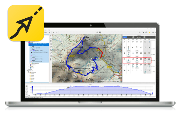
The most advanced software on the market to edit tracks, prepare routes and display several maps at once. Analyse every detail of your itineraries and relive each stage of your activities. Discover the reliability and accuracy of Land, the perfect addition to your GPS device.

Features
Prepare your outings safely: Without risks or limits
Plan your adventures without leaving home. Land will automatically open the most suitable and detailed map based on the itinerary you’re preparing.
Display multiple map types and formats in the same place. Land guarantees maximum compatibility with all types of maps
Map types: Road, topographic, orthophoto, nautical, aviation, etc.
Map formats: *.CDEM, *.COSM, *.CWMS, *.ECW, *.IMG, *.IMP, *.JPG, *.KML, *.KMZ, *.MAP, *.MPVF, *.OSM, *.PNG, *.RMAP, *.RTMP, *.SID, *.TIF, *.VMAP, *.WGOM…
Highlight the relief on your maps with shading that will help you to see the surrounding area much better. Remember you can also display your next outings in 3D views. Take charge of the goggles and watch yourself moving inside the most realistic simulation. Don’t forget to video record the simulations and share them with your fellow adventurers!………..
百度网盘下载:
本站解压密码:caxfwz


请先 !