
x64 | File Size: 464 MB
Description
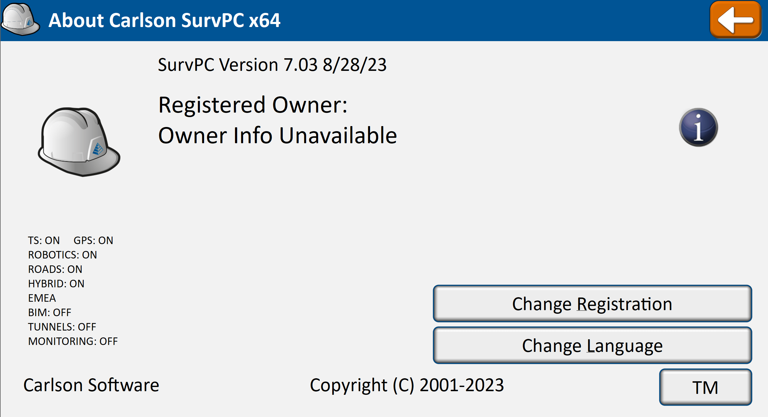
there’s a reason surveyors make Carlson their first choice in data collection software. SurvCE (for Windows Mobile) and SurvPC (for Windows) combine advanced functionality, ease-of-use, and cutting-edge features with excellent service and award-winning technical support.
Both SurvCE and SurvPC support the widest range of popular and newly released RTK GPS and conventional and robotic total stations, putting the power of Carlson’s in-field coordinate geometry at your fingertips.
Core Features
-Highly graphical and intuitive user interface is designed ‘by surveyors for surveyors’
-Easy data exchange due to rich support of CAD file formats and .dwg, .dgn, .shp
-Optional Field-to-Finish: Create drawings intuitively and automatically as you work, saving you time back in the office
-Strong GIS features with optional seamless linking to Esri® in SurvPC
-Export directly in KML format for fast control in Google Earth
-Camera integration allowing assignment of picture to points or lines
-More field capabilities with quick and easy volume calculation and ability to generate points from polylines
-True versatility: SurvCE and SurvPC run on hundreds of GPS and total station models in service today, including Altus, Ashtech, Carlson, Geomax, Leica, Pentax, Sokkia, Spectra-Precision, Stonex, Topcon, and more. See full list at http://www.survce.com.
-SurvCE/PC are available in more than two dozen languages: English, Spanish, German, French, French (Canadian), Russian, Portuguese, Czech, Dutch, Chinese, Korean, Greek, Italian, Polish, Hungarian, Swedish, Latvian and more
System requirements
OS:64-bit Windows 7-10
Memory:2 GB of RAM minimum, 8+ GB recommended.
解压密码:caxfwz





请先 !